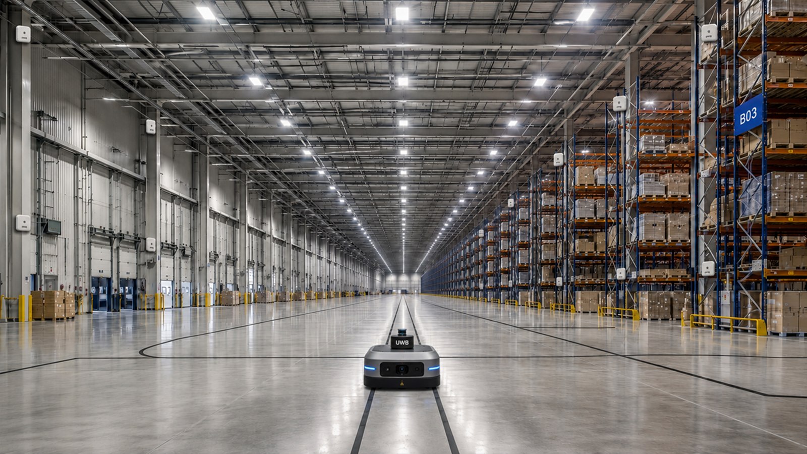
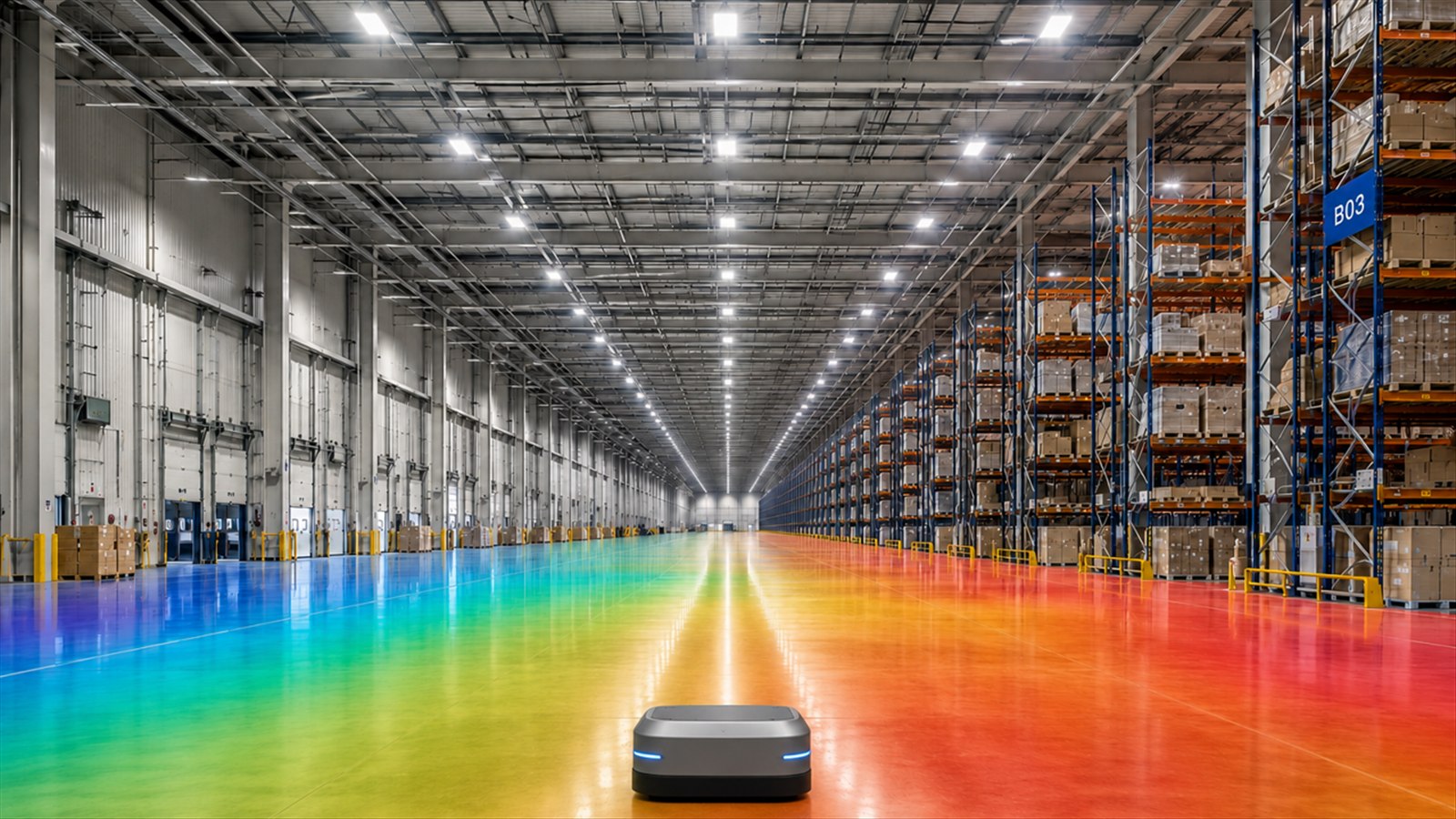
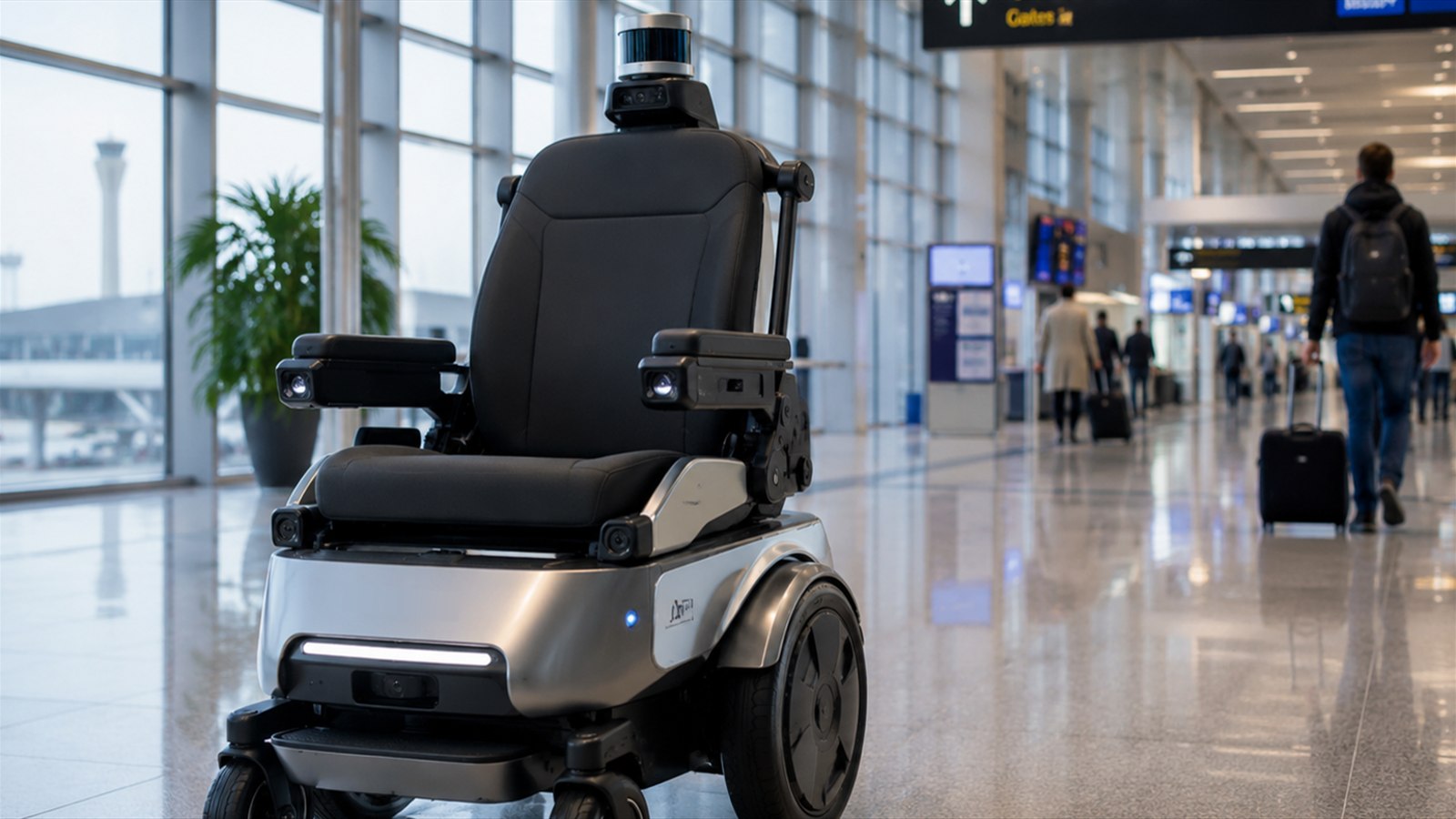
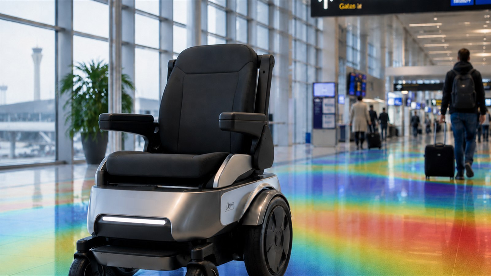
Lower site dependency
Reduce reliance on a dense layer of beacons, reflectors, QR codes or magnetic tape installed across the operating environment.
MagLoc
No infrastructure. No external beacons. Robust positioning—anytime, anywhere.
From production floors to logistics yards and public facilities, MagLoc is designed for mobile robots that need continuous position awareness across repetitive, GPS-challenged or visually degraded routes.
Typical robot tasks
Typical tasks include pallet transport, line-side delivery, autonomous forklift and tugger operations, inventory counting, and equipment inspection.
Typical robot tasks
Typical missions include terminal tractor positioning, container inspection, on-site cargo transfer, AGV operation, and seamless indoor–outdoor navigation.
Typical robot tasks
Typical tasks include medication and specimen delivery, ward supply transport, cleaning and disinfection, meal delivery, luggage transport, and indoor service.
Typical robot tasks
Typical missions include autonomous security patrols, infrastructure inspection, tunnel and mine inspection, anomaly checks, and emergency reconnaissance.
MagLoc adds an onboard sensing and digital mapping layer to existing mobile platforms—helping reduce physical site modifications, strengthen positioning continuity, and scale across evolving routes, sites, and fleets.
Reduce reliance on a dense layer of beacons, reflectors, QR codes or magnetic tape installed across the operating environment.
Add a positioning layer through onboard sensing, mapping and software integration instead of redesigning the whole site.
Provide an independent absolute reference that can complement odometry, LiDAR, camera or radio systems.
Build, load and update digital magnetic maps as sites evolve, with no physical positioning markers to relocate across every route.
Localization challenges vary across environments. No worries—MagLoc handles them seamlessly.

The exact outputs and support plan are defined in the integration scope.
Review the vehicle envelope, mounting, power, compute, sensor inputs and navigation interface.
Assess magnetic feature richness, major ferromagnetic changes, routes and validation reference.
Install the core unit and sensor bars, then perform platform-specific magnetic calibration.
Collect synchronized field data and generate the first ambient magnetic field map.
Connect the localization output and test accuracy, frequency, confidence and failure cases.
Deliver the agreed map, configuration, operating procedure and support plan.
Bring us the environments where localization loses certainty. Together, we’ll shape a practical MagLoc path from first evaluation to confident deployment.