Fast ambient magnetic field mapping
Collect magnetic data across the operating area and create a maintainable digital field map without installing physical positioning markers throughout the site.
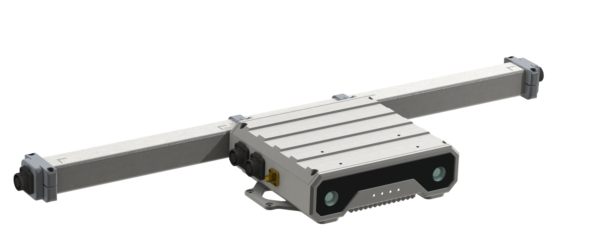
Collect magnetic data across the operating area and create a maintainable digital field map without installing physical positioning markers throughout the site.
Output position and orientation at up to 100 Hz, using the magnetic map as an absolute reference without cumulative odometry drift.
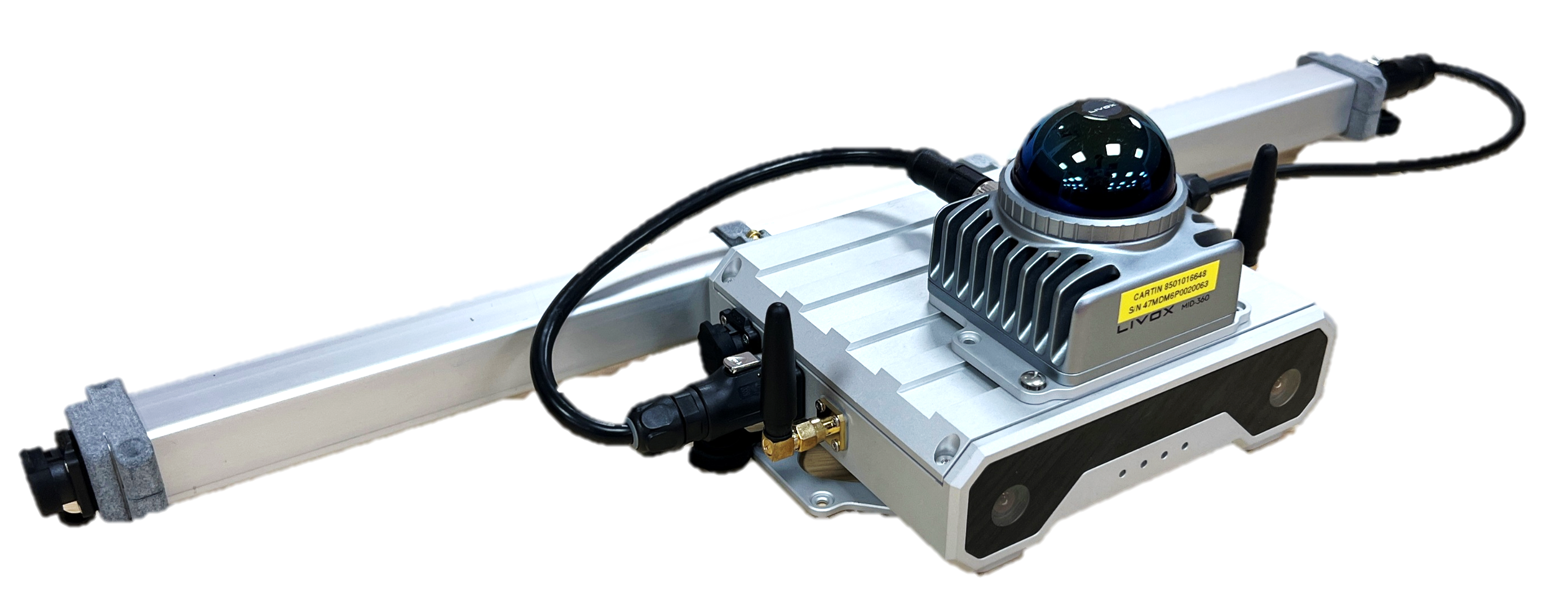
Combine magnetic positioning with selected assistive sensors when the application requires higher accuracy or additional redundancy.
Magnetic sensing does not depend on lighting, camera texture or line of sight to external anchors.
Separate core and sensor-bar components support different vehicle envelopes and project-specific configurations.
Support map creation, loading and updating as operating areas change; the automation level depends on product configuration.
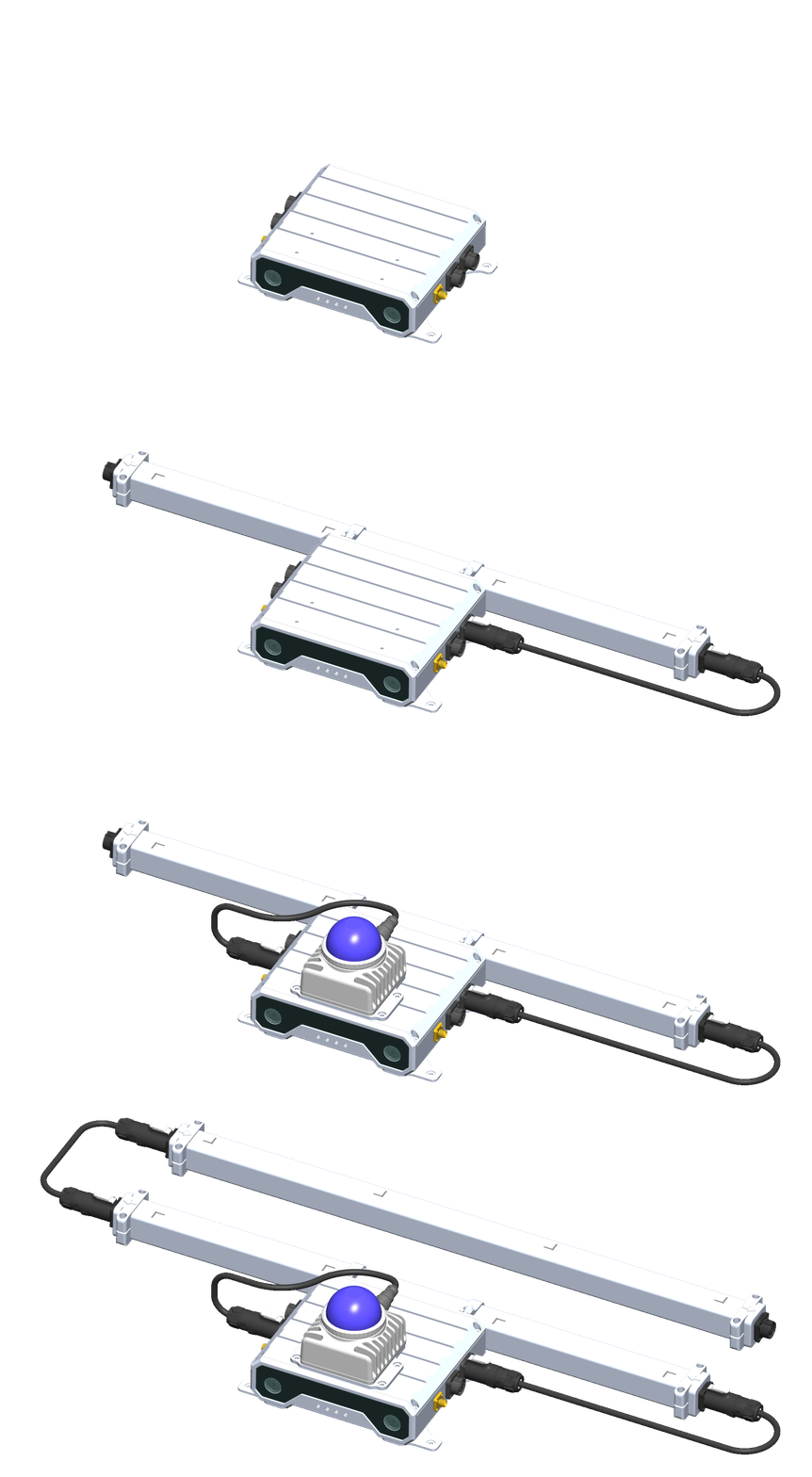
Specifications are subject to configuration and product revision. Contact the team for interface, environmental and validation requirements.
One sensing layer, demonstrated across distinct mobile platforms and LiDAR-degenerate operating environments.
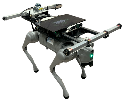
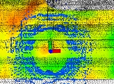
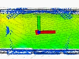
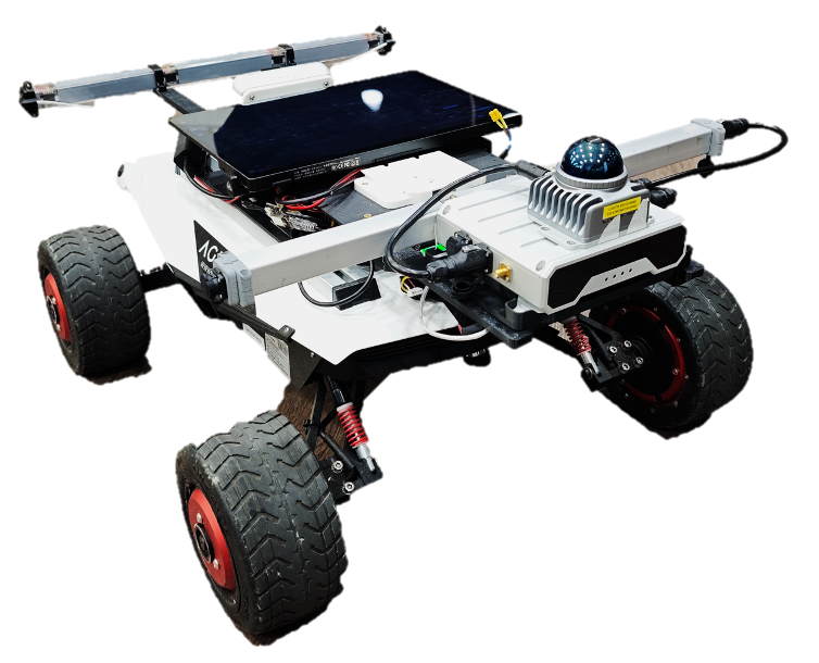
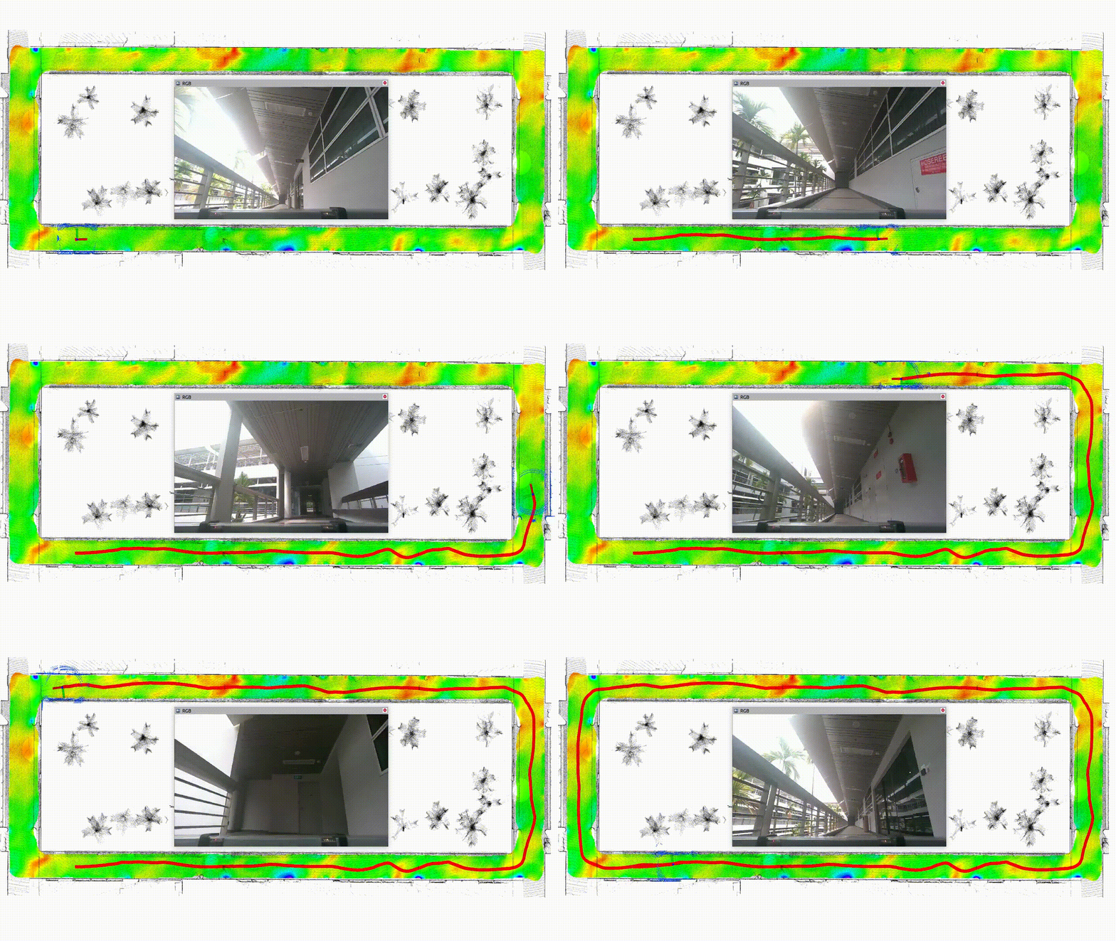
Long-corridor localization
Car-park localization
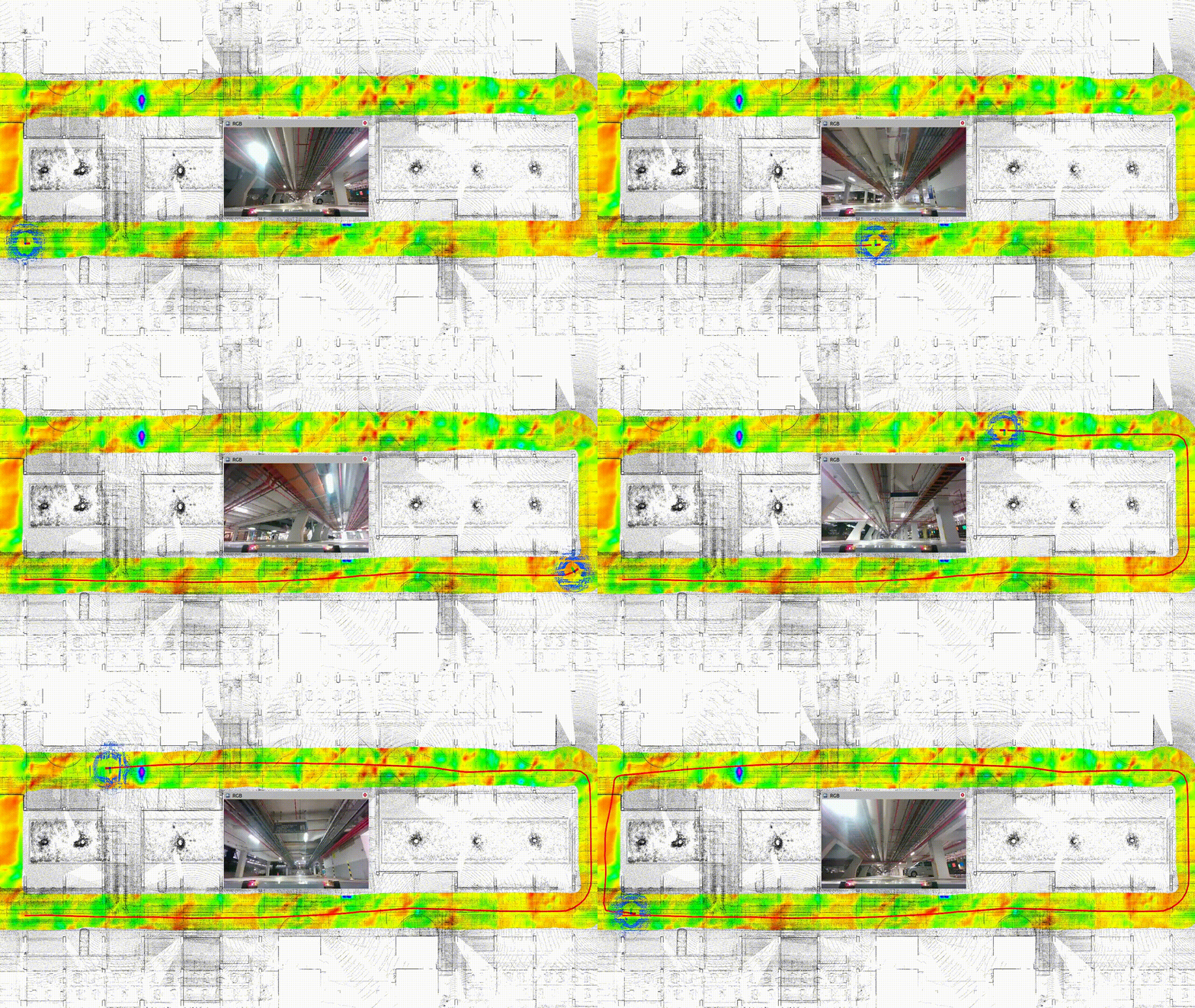
Demo media reflects specific platform, route and sensor configurations. Performance varies with environment, mounting, map quality, vehicle dynamics and sensor-fusion inputs.
Pricing is configuration- and scope-dependent. Share the robot, environment, current stack, required accuracy and target demo or pilot date.
Share the platform, environment, current positioning stack and the accuracy or continuity requirement. We will route the conversation to a research collaboration, technical evaluation or pilot scope.